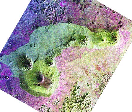
Image: Courtesy Jet Propulsion Laboratory. Copyright © California Institute of Technology, Pasadena, CA. All rights reserved. Based on government-sponsored research under contract NAS7-1260.
![]()
HTML code by Chris Kreger
Maintained by ETE Team
Last updated April 28, 2005
Some images © 2004 www.clipart.com
Privacy Statement and Copyright © 1997-2004 by Wheeling Jesuit University/NASA-supported Classroom of the Future. All rights reserved.
Center for Educational Technologies, Circuit Board/Apple graphic logo, and COTF Classroom of the Future logo are registered trademarks of Wheeling Jesuit University.