

![]()
![]()
![]()
![]()
![]()
![]()
![]()
![]()
![]()

|
Tracking
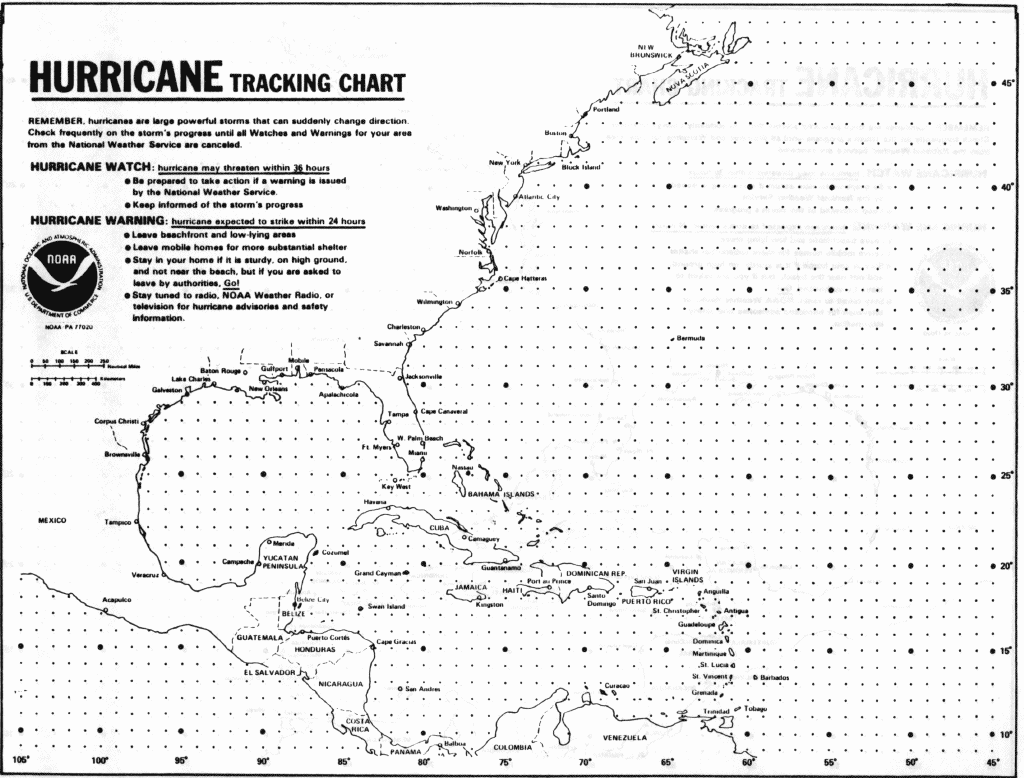
a Hurricane for Practice Print the Hurricane Tracking Sheet. (Alternatively, Macintosh users may elect to track Hurricane Andrew using the McHurricane software. Having trouble downloading McHurricane, then go to our software help page. Windows 3.1 and Windows 95 users may elect to track Andrew using Tracking The Eye.) Download the twelve satellite (GOES 7) images of Hurricane Andrew . The images were taken six hours apart. Image number 1 is from midnight EDT, Saturday, August 22; image number 12 is from 6:00 PM EDT, Tuesday, August 25. Plot information from the images onto the Hurricane Tracking Sheet or the McHurricane software or on the Tracking The Eye software. 2. How far (in pixels) did Andrew move from image 04 to image 07? 3. How much distance does each pixel of this image represent? 4. What is the actual distance the hurricane traveled on earth's surface? (Consider the number of pixels times the representative distance of each pixel.) 5. Now that you know how many kilometers Andrew has traveled, you need to figure out the number of hours it took to go that far. You can then calculate Andrew's average forward speed in kilometers per hour. |
![]()
![]()
![]()
![]()
![]()
![]()
![]()
![]()
![]()
![]()
![]()
![]()
![]()
![]()
![]()
![]()
![]()
![]()
|
Grade
Level: 5-12
|
|
Return to main Severe Weather Events page Note: See if students can calculate the distance covered by one pixel (one pixel = 10km). |
HTML code by Chris
Kreger
Maintained by ETE
Team
Some images © 2004 www.clipart.com
Privacy Statement and Copyright © 1997-2004 by Wheeling Jesuit University/NASA-supported Classroom of the Future. All rights reserved.
Center for Educational Technologies, Circuit Board/Apple graphic logo, and COTF Classroom of the Future logo are registered trademarks of Wheeling Jesuit University.