 |
|
DMSP night view |
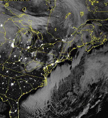 This night-time image of the American East Coast was taken as part of the Defense Meteorological Satellite Program (DMSP). The detector that recorded this image is sensitive to light from the visible to the near infrared, so we can see both the visible lights of the cities and the infrared light of the clouds. Source: DMSP, courtesy of Hank Brandli. [ next ] ... |